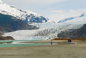
On August 6, 2020, a hanging part of the Turtmann Glacier in Valais (Switzerland) collapsed. Hikers were at location to capture the spectacular collapse, which resulted in the detachment of the lower part of the glacier tongue. Whilst such a collapse is a natural phenomenon (glaciers are dynamic rivers of ice), the current climatic conditions make it unlikely that the upper part reconnects to the lower. This makes the lower part a patch of dead-ice; it will cease to move and, without being fed new ice from higher regions, it will rapidly melt away. Compare it to a pond of water that disconnects from a feeding river; the pond will gradually dry out.
The event sparked my interest in the past and current extents of the Turtmann Glacier and has lead to the animation below.
Besides showing you the Turtmann in full glory, it also highlights the moraines that indicate the glacier’s frontal positions in 1850 and 1960, corresponding to clearly visible moraines and with dates based on a publication by Eichel et al (2013). Between 1960 and the collapse, the glacier had already lost 700 meters in length (source) and within a few seconds, it has lost an additional 400 meters.
PS: the animation is a first for Recogn.ice. We intend to make regular educational videos using the same tools. Let us know what you think and what we could do better: speed-wise, music-wise, text-wise, please shout out! Thanks so much!


